


Wrangell-St. Elias National Park, Alaska
We saved the largest park for last. At over 20,000 square miles, this park is larger than Yellowstone, Yosemite and Switzerland combined! We visited the low valleys in the central part of the park.
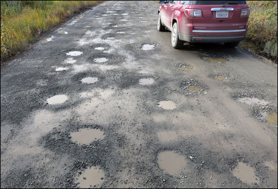
Below: This is the treacherous, pothole-ridden, 60-mile-long (120-mile round trip) McCarthy Road. The road was bad but the views were great.
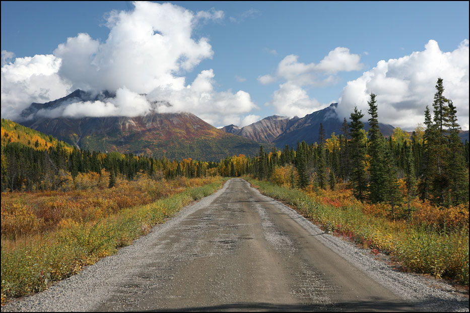
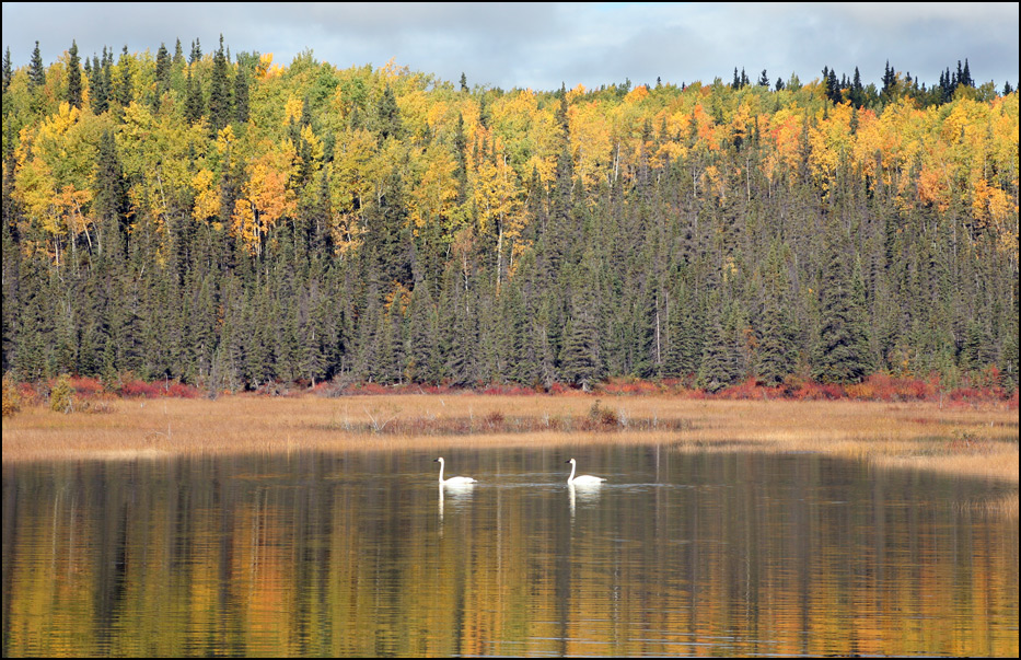
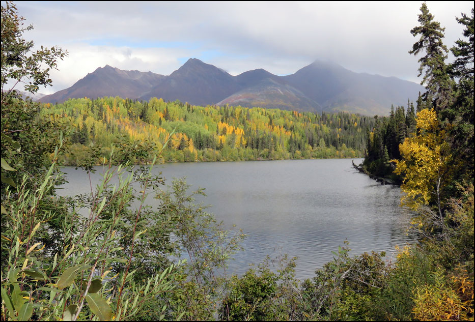
Below: The park was lit up with fall colors; so beautiful!
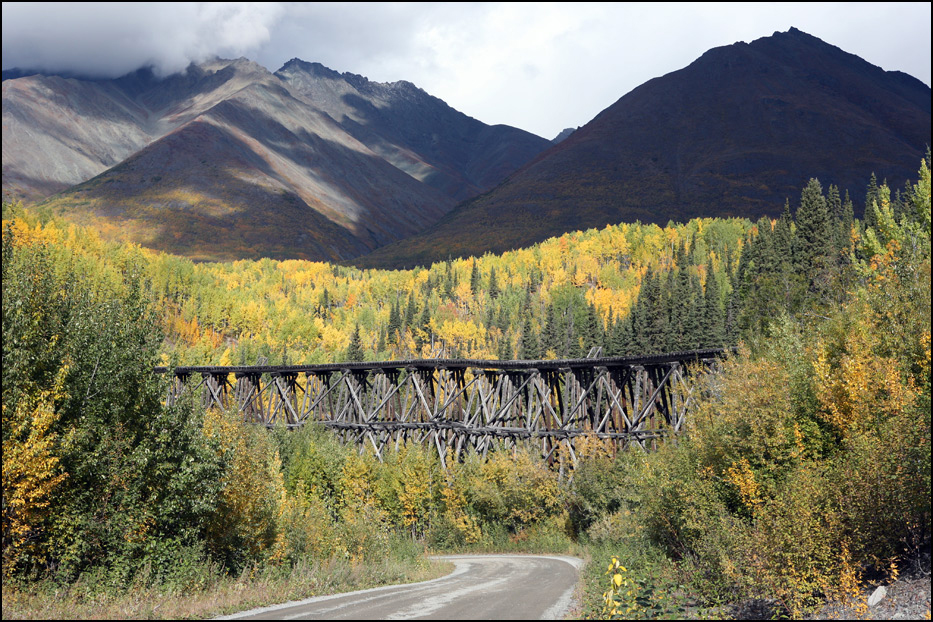
Below: This is a trestle for the train that served the Kennicott Copper Mine from 1907 to 1938.
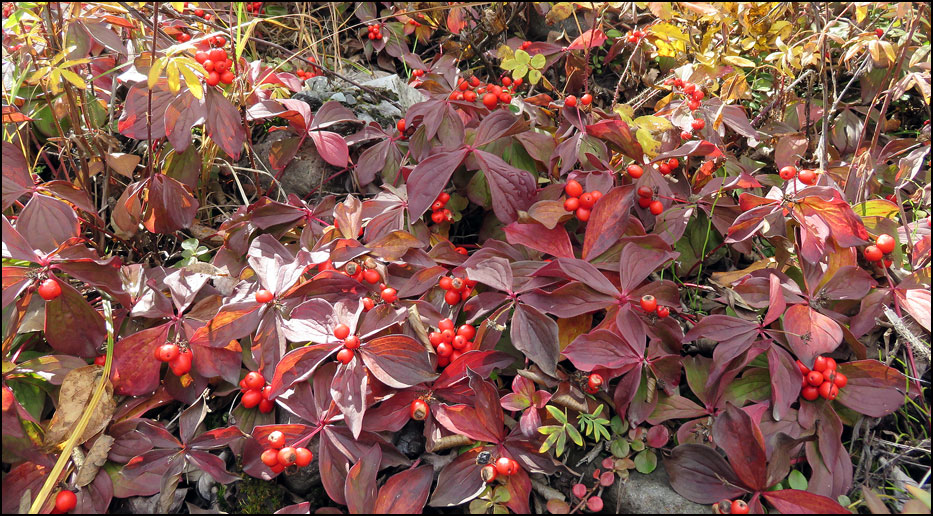
Below: Red bunchberries (Cornus canadensis).
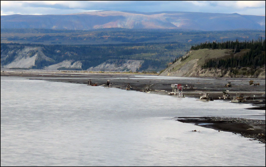
Below: Here you can see fish wheels on the banks of Copper River. If you've ever tasted Copper River Sockeye Salmon, the fish were possibly caught with these commercial fish-harvesting wheels.
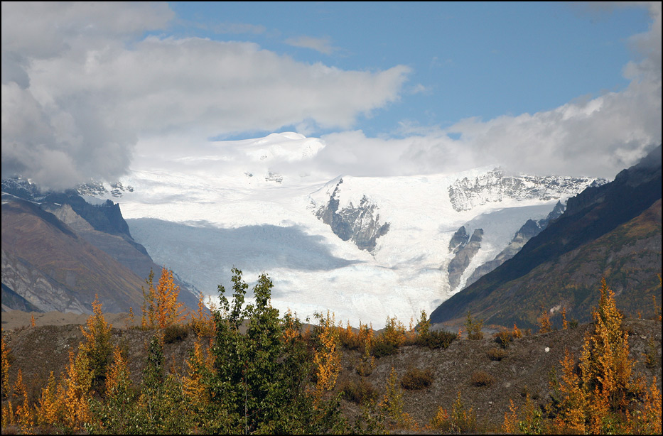
Below: This is the 27-mile-long Kennicott Glacier.
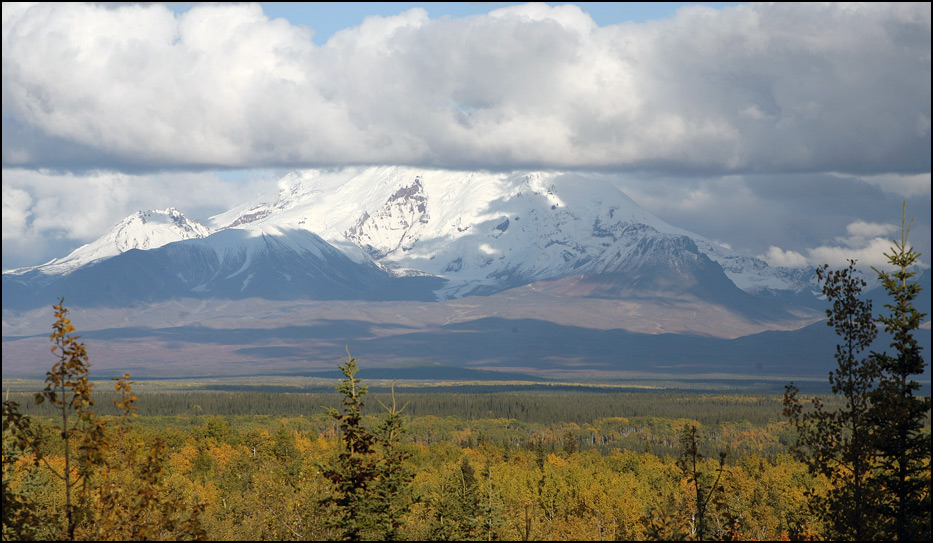
Below: Mount Drum, 12,010 feet tall, with its summit in the clouds.
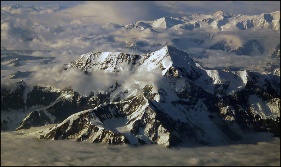
Below: In the south part of the park is giant Mount St. Elias, 18,009 feet; the second-highest mountain in the United States. We took this photo from 30,000 feet when we were flying from Juneau to Anchorage on 7/23/15. Summertime in Alaska!